Use remote sensing and AI to protect the Earth and fight against climate change
10
partners
5+
Challenges per year
250+
AI for EARTH Engineers
25,000+
hrs of Engineering
Combining the powers of remote sensing, GIS and AI to protect life on Earth
The AI for Earth Lab pools resources and knowledge of our partners, together with the work of our AI for Good Engineers to fight climate change and preserve life on Earth. We use remote sensing and GIS methods and apply machine learning to solve real life problems of our home planet and our life on it. AI for Earth Lab generates a constant stream of AI for Good Challenges for the FruitPunch AI community of data scientists and AI engineers.
The need for climate action and protecting the environment has never been more acute
To fight for the preservation of our planet, we need a better and more timely insight into what’s happening on its surface. Satellites, drones and other remote sensing sensors are our eyes in the air detecting, monitoring, and measuring human impact on nature. Thanks to their data we are able to train machine learning models to help detect fires, predict floods, and measure tree growth.
Remote sensing has an incredibly passionate community of researchers, engineers and aficionados rooting for satellites and drones. They see their immense potential to enable geospatial research and turn it into action. For us, for the climate and for all life on earth. Just like them, we are in awe of this technology and its impact. That’s why we are bundling our remote sensing knowledge and resources to address the UN Sustainable Development Goals 15: Life on Land and Goal 13: Climate Action.

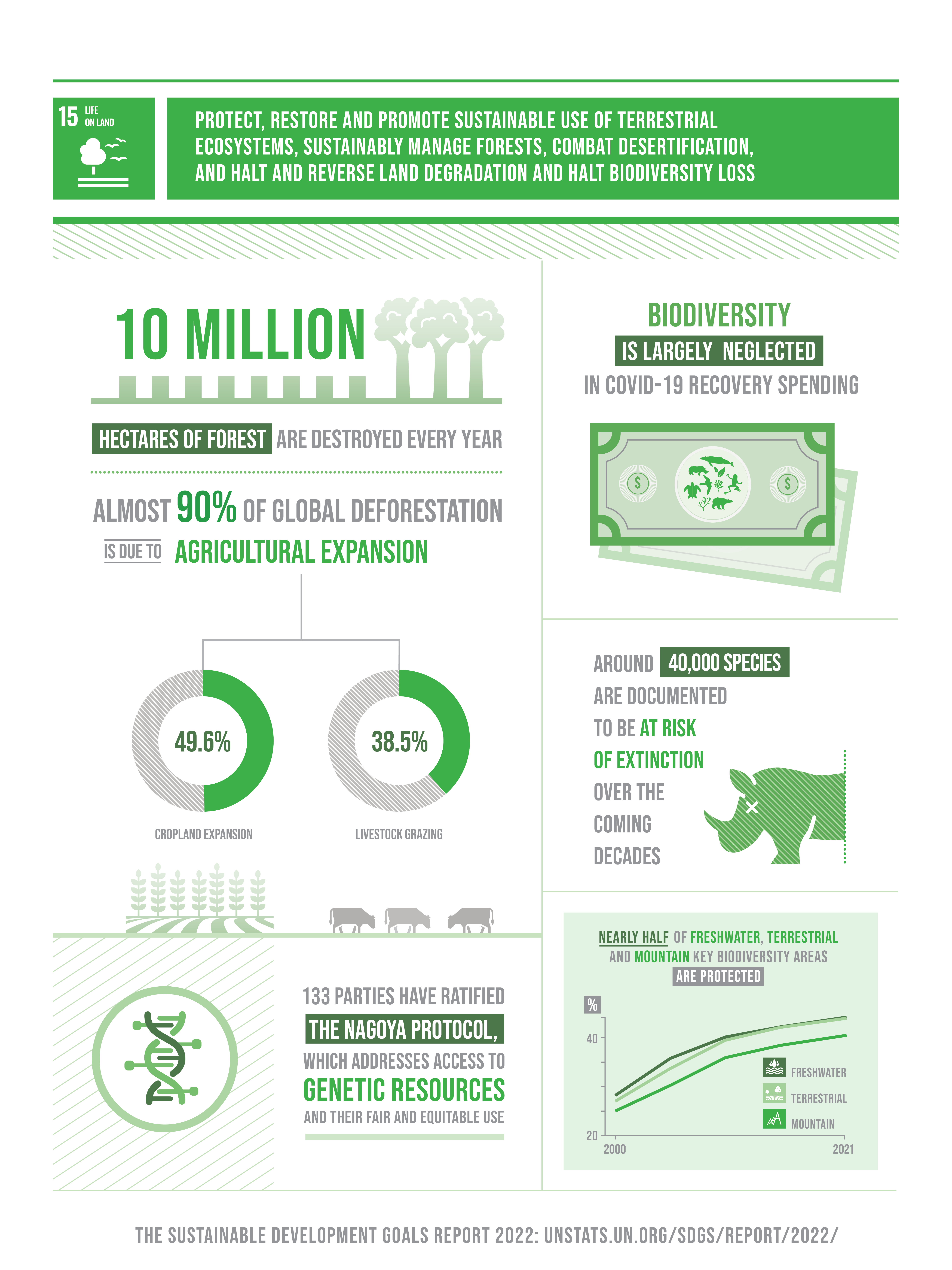
UN Sustainable Development Goal 15: Life on Land
Protect, restore and promote sustainable use of terrestrial ecosystems, sustainably manage forests, combat desertification, and halt and reverse land degradation and halt biodiversity loss.
12
Targets
15
Events
31
Publications
908
Actions
UN Sustainable Development Goal 13: Climate Action
Take urgent action to combat climate change and its impacts.
5
Targets
15
Events
33
Publications
1502
Actions

Fight against climate change by applying AI to geospatial data
Predict events dangerous to life on Earth like floods and wildfires
Protect our waters by early detection of threats like pollution
Monitor the success of carbon capture projects
Preserving habitats essential for life of earth
Remote Sensing
Remote sensing is the process of detecting and monitoring an object or a phenomenon without making physical contact with it. It usually refers to the use of satellite, drone and other sensor technologies to detect and classify objects on Earth. To develop our machine learning models, we use open source and commercial satellite data, drone images and various camera & lidar sensor data collected by our challenge partners.

GIS
Another part of the geospatial field is the geographic information system (GIS). GIS is a system of databases, software tools, procedures and body of knowledge around location relevant data. We apply these technologies in combination with machine learning to understand the geographic context of data and patterns in our Challenges.

Computer Vision
Using satellites & drones to capture what’s going on is useless if we can’t analyze what’s in those images. That’s why in almost every remote sensing challenge we apply a multitude of computer vision techniques that derive meaningful information from images, videos and other visual inputs. We’ve applied it to open source satellite data, commercial hi-res imagery, cam footage from drones and even hydrological sensors distributed along a french river.


AI against Toxic Clouds
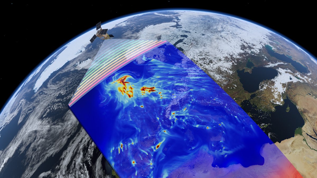
AI for Air Quality

AI against Carbon Impact
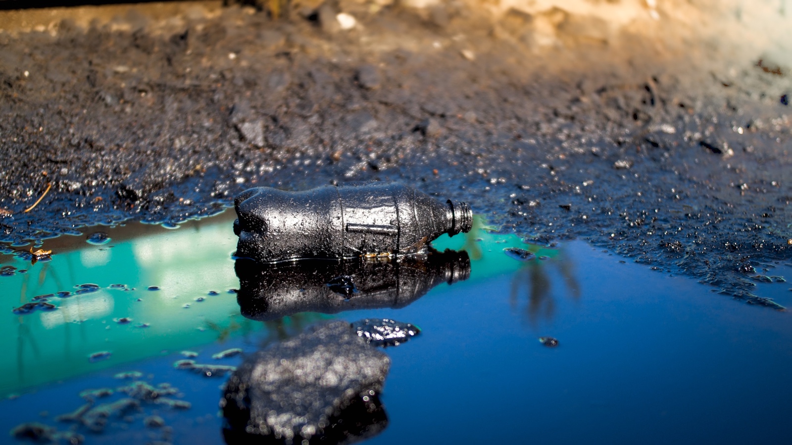
AI against Oil Spills Challenge

AI for Trees Challenge
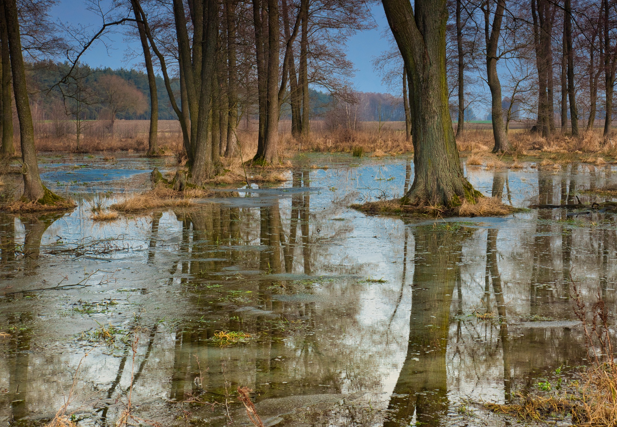
AI for Earth 2 - Forest Health

AI for Earth 2 - Inland Floods Prediction

AI for Greener Cities Challenge

AI for Wind Energy Challenge

AI for Coral Reefs Challenge

AI for Earth Challenge

AI for Food Challenge
We use satellite, drone and sensor data to get some machine learning done
- Use GIS to map water levels in forests, highlighting flooding risk areas
- Create prediction models for floods based on data from hydrological sensors measuring water level, volume and surface speed
- Build ML models to estimate propagation speed of flood events
- Develop a model to map rivers & its tributaries based on satellite data
- Develop a satellite data detection system of human impact sites of -
- Illegal deforestation
- Wildfires
- Coral bleaching
- Use GIS and multispectral data to identify and detect oil in satellite and drone imagery, apply U-net architectures to generate masks for the oil spills
- Use semi-supervised learning to try to classify the type of leaked oil
- Monitor tree coverage and growth from satellite and drone data
From our YouTube channel
From our Publications
Become a certified AI for Earth Engineer
Individual engineers who collaborate in the AI for Earth Challenges are trained in working with remote sensing, GIS, computer vision and other skills essential for the applied AI projects.

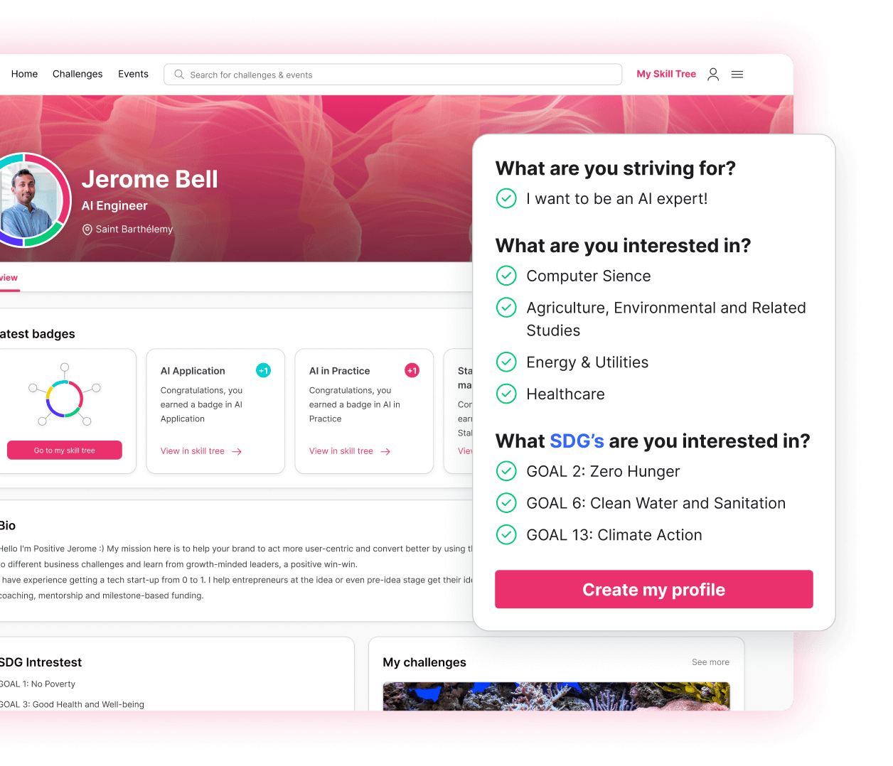
Sign-up at the platform for free and fill your profile. Pick your interests and join corresponding communities. Create a skill tree you’ll be developing with every AI for Good activity.
Start my journey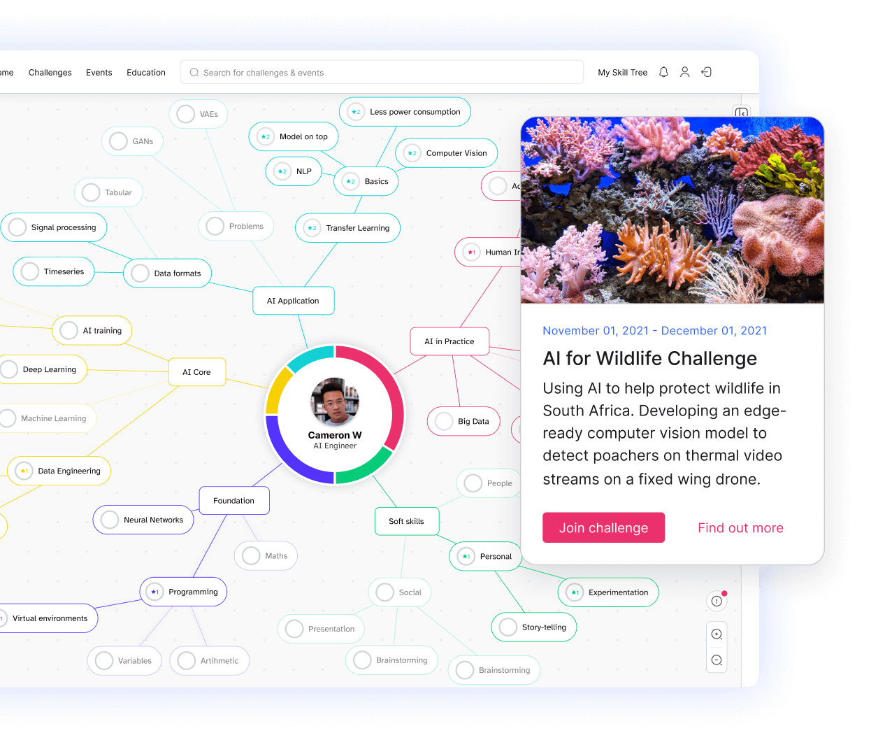
Learn how to apply your acquired AI knowledge in the real world. Join AI for Good challenges and collaborate in teams all over the globe.
Upgrade my skills
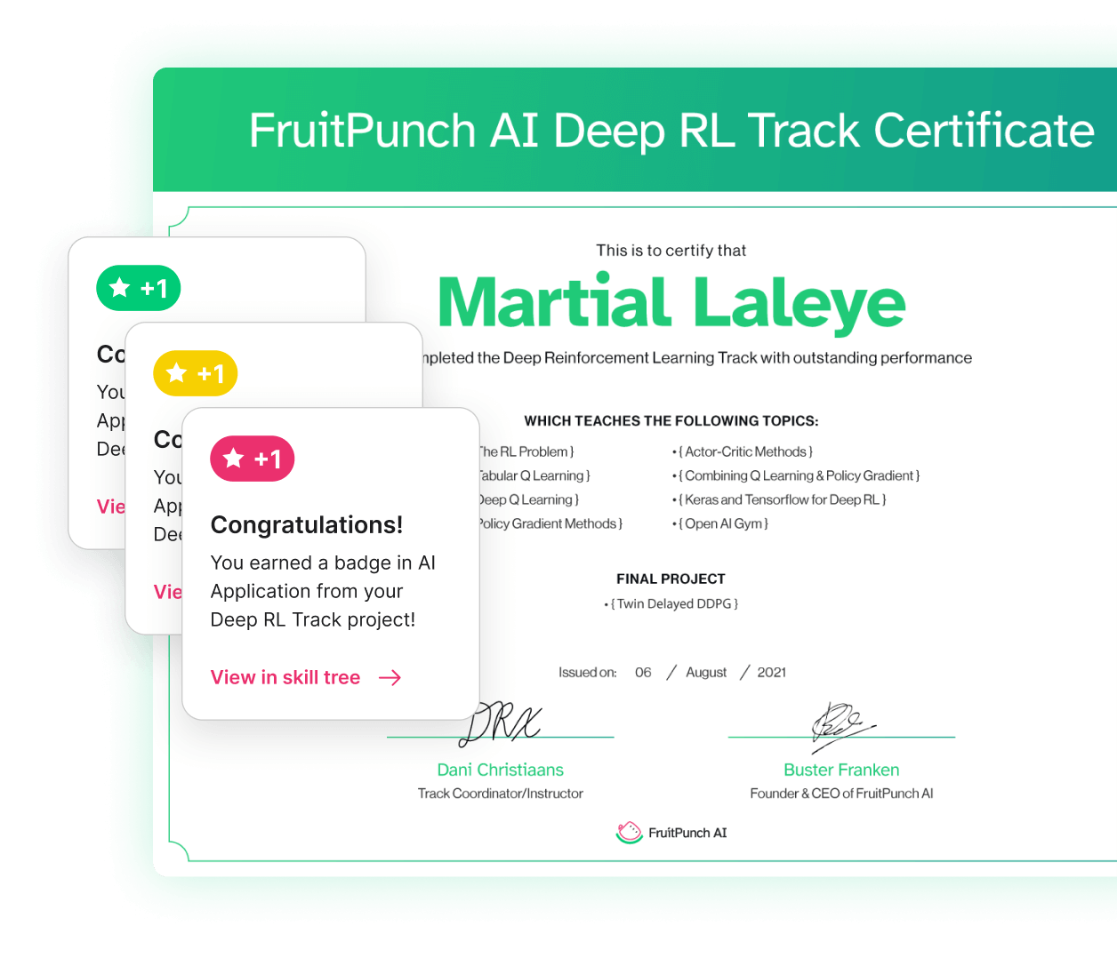
Every activity adds to your development. You’ll be accredited with badges for specific hard and soft skills and certifications after an accomplished challenge.
Build my skill treeBecome a certified AI for Wildlife Engineer
Individual engineers who collaborate in the AI for Wildlife Challenges are trained in edge computing, computer vision, model pruning and other skills essential for the applied AI projects.
Join the community
Participate in a challenge

Get certified
Challenge Partners
Impact organizations and experts applying the results of the AI for Earth Challenges. Do you have a climate change problem that can be solved with AI? Submit your challenge
Contributing Partners
Use their teams, expertise and resources to advance AI for Earth Lab & Challenges. Can your experts or technology contribute to solving an AI for Earth Challenge? Partner up! 👇
Community Partners
Use their reach to spread the AI for Good news, advocate for AI for Good Lab & Challenges. Do you have a network we could reach out to with environmental or climate action AI topics? Connect on Linkedin, Twitter or drop us a note 👇


